Departure: Chipley, FL Finish: Midway, FL
Distance: 80.0 miles
Elevation gain: 2,461 feet
Winds: SE at 20 to 25 mph
Weather: Scattered to broken cumulus. 62 degrees at departure. 77 degrees at arrival.
On bike duration: 4 hrs, 41 minutes.
Average speed: 17.0 mph
Total Accumulated Miles: 2,680.1
The thunderstorms last night were noisy, but didn’t affect our progress. The road was drying out when we departed. The clouds parted. We even had a tailwind for half the day. It’s pretty amazing that we have avoided so much bad weather around us.
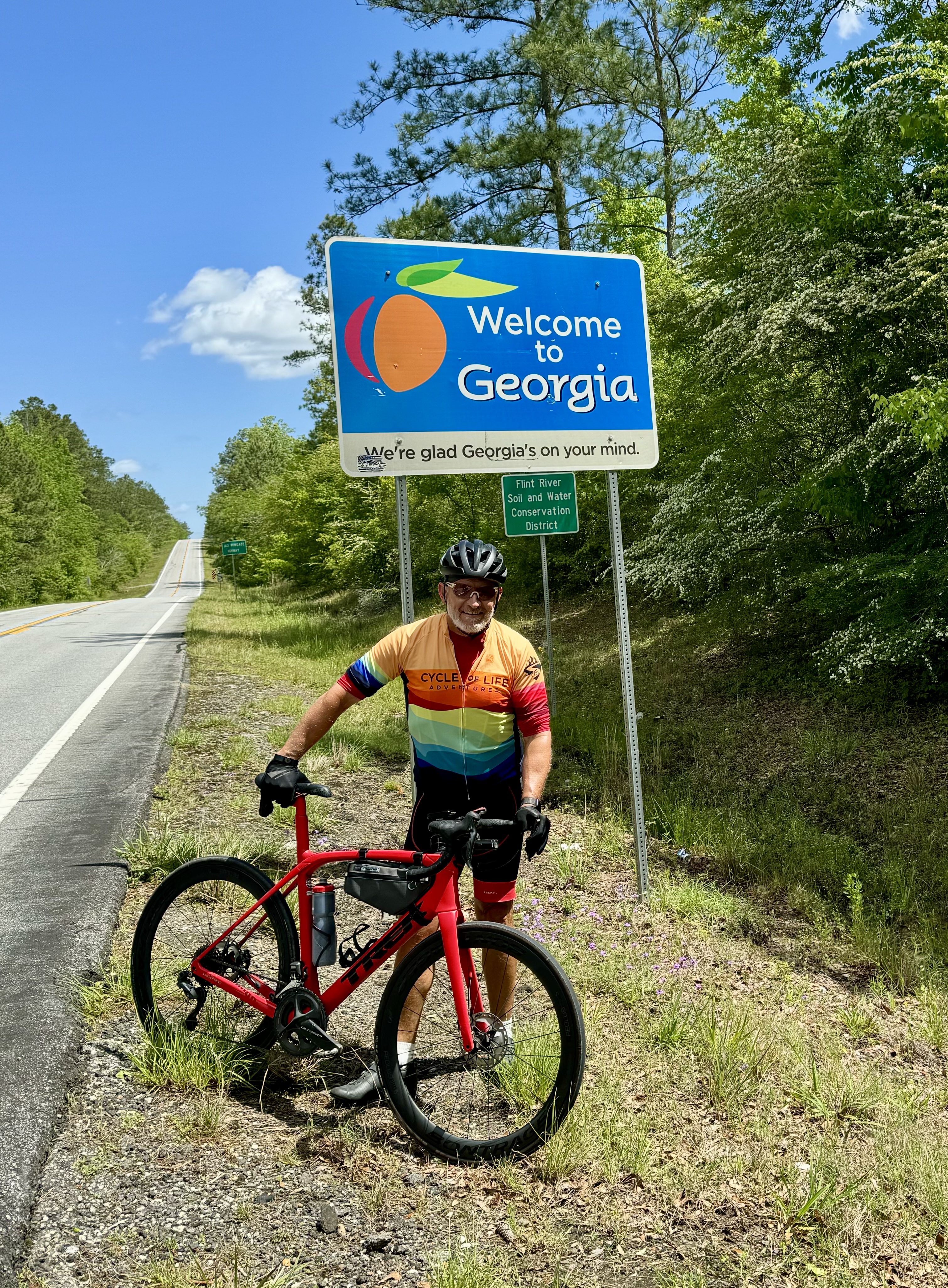
Officially, this coast-to-coast event travels through 8 states. But our route today took a left turn for a 1/2 mile detour to the Florida-Georgia line. I made sure I rode 10 yards north of the sign, just to make it a legitimate ninth state, then made a U-turn back to the Eastbound highway. Actually, I have spent a lot of time in Georgia, so it was not a big deal for me. But, several members of our group had never been to the Peach State. It was a fun and friendly diversion for on our published route.
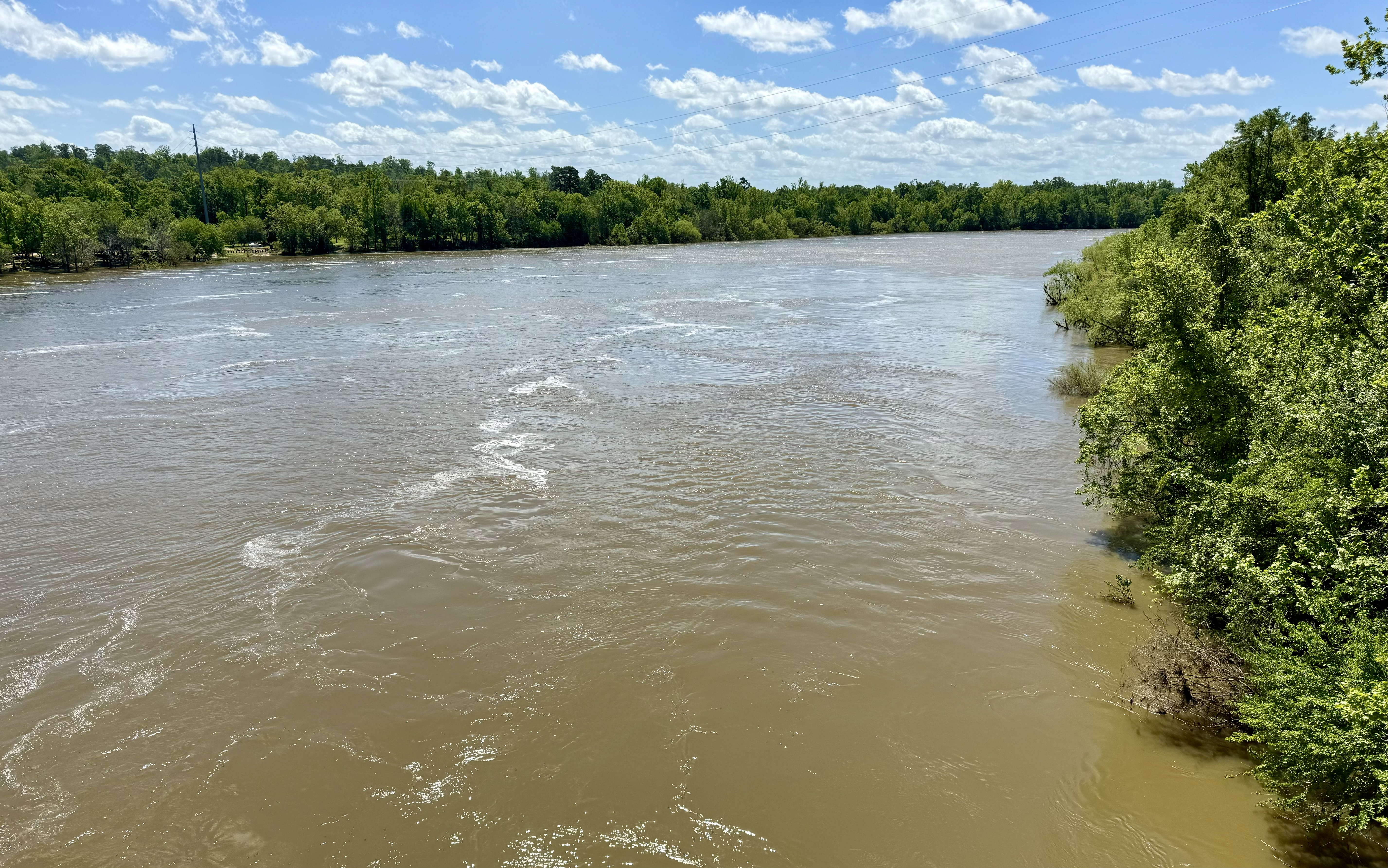
We have pedaled a lot of miles on US Highway 90, that runs the length of the Florida Panhandle. It served as the primary road before Interstate 10 was built. It’s still a very good road, and accommodates bicycles well. Today, that road took us over a good sized river, with a dam on the North side of the road and a muddy river on the south side - with the ruins of a former train trellis. On the far side of the bridge was a very steep climb into the town of Chattahoochee, Florida. Several people in the group wondered whether the river was the Chattahoochee or the Apalachacola. When our ride was done I found that the river on the North side of the dam is called the Chattahoochee, but once the water leaves the dam, it is called the Apalachacola. That’s interesting. It’s also the spot for the time zone borders. It’s Central time on the West side of the river. It’s Eastern time on the East side of the river. So, it’s a landmark that affects all directions on the local area.


No comments:
Post a Comment